Brum Breathes was a community engagement project funded by Birmingham City Council and delivered by Sustrans, focusing on air quality. It was part of a range of measures aimed at reducing air pollution in the city, and ran for 18 months between January 2020 and July 2021.
This project aims to raise awareness of air pollution, its causes and how it affects our health.
This is a Brum Breathes project in partnership with Birmingham City Council.
![]()
![]()
About the project
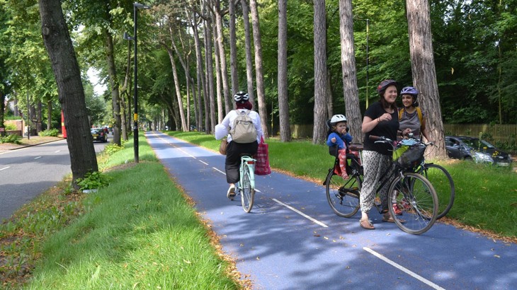
We offered training sessions and support to groups across Birmingham. This included air quality monitoring walks through local neighbourhoods so we could keep track of air pollution levels.
We worked with:
- community organisations
- voluntary groups
- faith groups
- large workplaces
- university societies.
The project aimed to raise awareness of air pollution, its causes and how it affects our health.
And together, we helped everyone to improve air quality in their area.
We have lots of useful resources about air quality that you can download from the bottom of this page.
Our interactive air quality map
We've worked with one of our fantastic Brum Breathes clean air champions to produce an interactive map showing the air quality in Birmingham.
It uses data from Birmingham City Council, and shows the annual mean levels of Nitrogen Dioxide (NO2) at monitoring stations across the city, in micrograms per cubic metre (µg3).
Nitrogen Dioxide (NO2) presents a risk to health. Any level may be harmful, but the higher the level the greater the risk.
Take a look at the map below, or open it up in a new window.
We also have a short explainer video below the map which shows you how to interact with the data.
Map key
| Level 1 (below 30 micrograms per cubic metre) | Level 2 (30-36 micrograms per cubic metre) | ||
| Level 3 (36-40 micrograms per cubic metre) | Level 4 (40+ micrograms per cubic metre) | ||
| Birmingham Clean Air Zone (CAZ) |
With thanks to Chris Woods at Drawing with Data, who created this map in partnership with Sustrans and Birmingham City Council.
Useful links and resources
We have lots of air quality information and webinar recordings so you can find out more about the project and the impact of air pollution.
Download our info sheets:
- Air pollution facts
- Air quality: your questions answered (FAQs)
- What you can do to improve air quality
- Faith groups and air pollution: What you and your faith community can do to reduce air pollution in Birmingham
- Air quality survey for adults: A street survey to help you to think about factors that impact air quality in your local area
- Air quality survey for kids: A street survey aimed at helping kids to think about air pollution in their local environment
- Make your own air pollution monitor: Step-by-step guide to making your own simple air pollution monitor with kids.
Watch our webinars and guides on YouTube:
- Brum Breathes: Transport and air quality, 24 June 2020.
- How to make your own air pollution monitor.
- Are you more exposed to air pollution in your car, or on your bike?
- Can you see all types of air pollution?
Calling all Brummies: Get involved today
We want to work with students, faith and community groups to get more information out into Birmingham communities about air quality and the Clean Air Zone.
Here are three ways you can get involved.
1. Take a look at our extra resources
Read our info sheets, watch our webinars and share the resources in the box above with your friends, family and colleagues.
2. Join the #BrumBreathes conversation
Talk about air pollution and how people can improve it in Birmingham on social media.
Don't forget to use #BrumBreathes on your TikTok, Facebook, Twitter and Instagram accounts.
3. Spread the word
Talk to friends, family and neighbours about what they can do to improve air pollution in their area.
With thanks to:
- Chris Woods at Drawing with Data for producing the map and video
- Karola for writing the video script and providing the voiceover
- Birmingham City Council for providing the data and for funding the Brum Breathes project
- Emma Warne for her support in delivering the Brum Breathes project
- Footsteps Council of Faiths for their help in producing our Faith and air pollution leaflet.


