The city is often thought of as the domain of motorised vehicles. But many of the National Cycle Network routes passing through the UK’s urban areas provide ample opportunity for interesting and health-boosting journeys on the shoelace express. This selection of walking routes shows that city strolls can be as good as – and sometimes, even better – than countryside rambles.
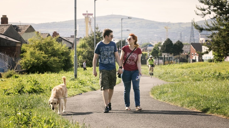
Walkers on the Comber Greenway, a path that runs through East Belfast.
Belfast
The Comber Greenway takes you from Belfast’s Titanic Quarter to the small town of Comber. Its shared-use path follows the old County Down Railway line, but it’s worth seeing the eye-catching Big Fish sculpture on the other side of the Lagan, and maritime attractions like Titanic Belfast and the SS Nomadic, before you begin.
Hop onto the Greenway at Dee Street and you’ll soon pass by a statue of one of East Belfast’s most famous sons, CS Lewis. After the Bloomfield Walkway and some disused railway platforms, you’ll pass the Police Service of Northern Ireland Headquarters and its accompanying museum. Onwards from Dundonald, you can spot the Scrabo Tower, a 19th-century folly, in the distance, before you stroll into Comber.
For those wanting to explore the other side of the river, the Lagan and Lough Cycleway has a particularly nice section of the towpath in the south of Belfast. Starting at Lockview Road, it’s around two miles to Lagan Valley Regional Park. On the way, you’ll go through Lagan Meadows – a rural oasis amid suburbia – while the Lock Keeper’s Inn is a great place for a pit stop.
Leamington Spa and Warwick
In the 19th century, people flocked to Leamington for the supposedly medicinal qualities of its waters, and you’ll likely find this 3.5-mile walk to nearby Warwick beneficial too. The Lias Line joins the two cities, and a good place to start would be the Newbold Comyn country park to the east.
A quick detour off-route over the River Leam will take you into Welches Meadow Nature Reserve, otherwise you can head straight on to Jephson Gardens and the Royal Pump Rooms, a grand bathing house turned museum and art gallery. After Leamington Spa rail station it’s around two miles till you cross the River Avon into Warwick’s St Nicholas Park. The historic delights of the town and its castle await.
Walkers on the Cardiff Bay Trail.
Leeds
The Aire Valley Towpath is a 17-mile route following the River Aire and the Leeds and Liverpool Canal out to Bingley. For a much more manageable walk, however, why not follow it for around four miles as far as Bramley Fall Park? Joining the towpath by the lively Granary Wharf, you’ll see the remnants of the city’s once-formidable wool industry in the old textile mill buildings that line the route (the Leeds Industrial Museum at Armley Mills is a good visit for the historically inclined).
At around three miles into the walk you’ll get views of Kirkstall Abbey, a ruined Cistercian monastery, peeping through the trees. You can cross the canal over the locks at the near end of Bramley Fall Park, or continue onto Pollard Lane where the friendly Abbey Inn beckons for a beverage.
Edinburgh
From its source in the Pentland Hills, the Water of Leith flows to the titular port in the north of Edinburgh. A great way to experience it by foot is by following National Route 75 seven miles from the city out to the suburb of Balerno. Start by the Leamington Lift Bridge and follow the shared-use path along the Union Canal, looking out for moorhen, mallard and other birdlife as you go.
Passing Harrison Park, you’ll get great views when you arrive at Slateford Aqueduct. You then split from the towpath and cross the A70 to follow the river past Redhall Mill and Spylaw Park. From Colinton, the route follows the old railway line, with pleasant fields signalling the last stretches of your walk into Balerno.
Leicester
Taking in manicured city parks, historic sites and wild wetlands, this 7.5-mile route along National Route 6 showcases one of Leicestershire’s best country parks, Watermead. Start in the city centre at Bede Park and follow the path along the curves of the River Soar.
Through the pretty gardens of Abbey Park, where the atmospheric ruins of Cavendish House and the site of the medieval abbey lie just off-route, you’ll then pass the appropriately space-age National Space Centre building before crossing the river and passing Belgrave Hall, a secluded 18th-century manor house. Then it’s on to the 140-acre Watermead Country Park. Boasting two nature reserves, it’s a haven for birdwatching and even fishing.
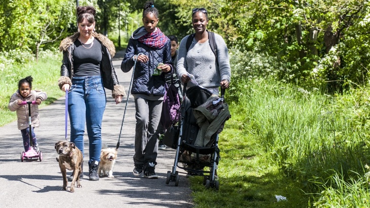
Take a walk on the Bristol and Bath Railway Path.
Chester
With its ancient cathedral, Roman amphitheatre and city walls, Chester is steeped in history, and its Railway Path is a tranquil green corridor starting in the north of the city and leading to Connah’s Quay in Flintshire, eight miles away. You can start at Limewood Fields, detouring at Northgate Ponds to follow the signed route into the city centre.
Out through the suburb of Blacon and crossing the border into Wales, the walk becomes more countrified, with views over farmland and Snowdonia off in the distance. After a few more miles it’s over the River Dee on Hawarden Bridge into Shotton, where you can get the train back to Chester or continue to Connah’s Quay Wharf.
Bristol
Some urban walks can bring a feeling of the rural right into the city. A great example is the Bristol and Bath Path, whose initial stretch between Bristol city centre and the village of Willsbridge forms a Greener Greenway.
The path is often lined with trees and bushes, providing opportunities for some city wildlife spotting – join it in St Philips and follow it through east Bristol, where you’ll pass the sites of some long-disused railway stations. The Avon Valley Railway, with its nearby riverside picnic area, is a good place to stop at around eight miles along the path.
Cardiff
The 6-mile circular Cardiff Bay Trail combines urban landmarks with beautiful maritime views. Start at Mermaid Quay – the buzzing waterfront area full of bars and eateries – amble west and your next port of call will be the Cardiff Bay Wetlands Reserve, a haven for birds all year round. After Hamadryad Park, you’ll then cross two rivers: first the Taff, then the Ely via Pont y Werin, the 140m “People’s Bridge”, into the affluent town of Penarth.
Provided you aren’t sidetracked by the resort’s array of independent shops and cafes, it’s then on to Cardiff’s 1km-long barrage. You’ll want to savour the views at this point – to your left, the bay, city and mountains beyond; to your right, the Severn Estuary and Somerset. Your return to the waterfront is heralded by landmarks like the Victorian Pierhead building and surprising Norwegian Church.