This section presents the high level (macro) considerations required when deciding where to introduce traffic restrictions to achieve the LTN objectives.

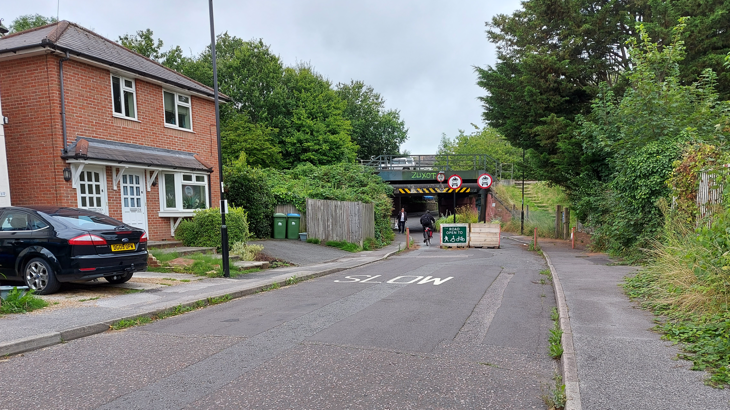
St Deny's, Southampton ©2021, Jenny Babey, all rights reserved
In a given area, you will have to decide the approximate location of all filters at the same time in order to achieve the objectives above (5.1) preventing through traffic from one boundary road to another, while still keeping every property accessible by vehicle, and creating opportunities for public space and socialising.
To determine the location of modal filters and traffic restrictions, start at any boundary road and try to reach another boundary road by travelling through the neighbourhood.
In a typical LTN with four boundary roads, there will be two main movement types:
- Cutting straight through the neighbourhood, from one boundary road to the opposite one (i.e. travelling parallel to one of the boundary roads),
- cutting the corner between two adjacent boundary roads (to avoid a signalised junction or roundabout).
The new traffic restrictions must prevent private motor vehicle drivers from making both movement types.
Even if a route through the neighbourhood does not appear to be a convenient cut through, satellite navigation devices are likely to identify it and redirect all through traffic along it.
In several examples of LTN implementation over the past few years, ‘leaks’ or through routes that were left open to motor traffic as part of LTN design had to be revisited and filtered after experiencing an increase in motor traffic.
In practice, this will mean that drivers will only enter the LTN area if their destination is within it.
When they then leave the area by private motor vehicle, they will have to do so via the same boundary road they entered from.
If one boundary road is very congested or has several signalised junctions, additional restrictions may be required to ensure drivers do not cut through the neighbourhood for a short distance before re-joining the same boundary road.
Any proposal must, of course, retain vehicle access to any property, including for emergency services, who are statutory consultees.
Figure 5d shows a worked exercise to determine the location of filters.
The order of the steps is indicative only.
For the best outcome, we recommend the following.
- The cost of the scheme can be minimised by minimising the number of filters: this can usually be achieved by locating filters along severance lines such as railway lines and parks.
- Filters can be placed towards the centre of the neighbourhood to minimise inconvenience to car journeys which start or end in the cell, ensuring residents can drive to their closest boundary road. This will not always be possible, particularly for corner-cutting movements.
- Diagonal filters can be used to create loops which minimise the need for three-point turns or reversing, especially by larger vehicles.
- Modal filters should be located where they can create the most community value.
For additional detail on filter placement, see section 5.4.

