


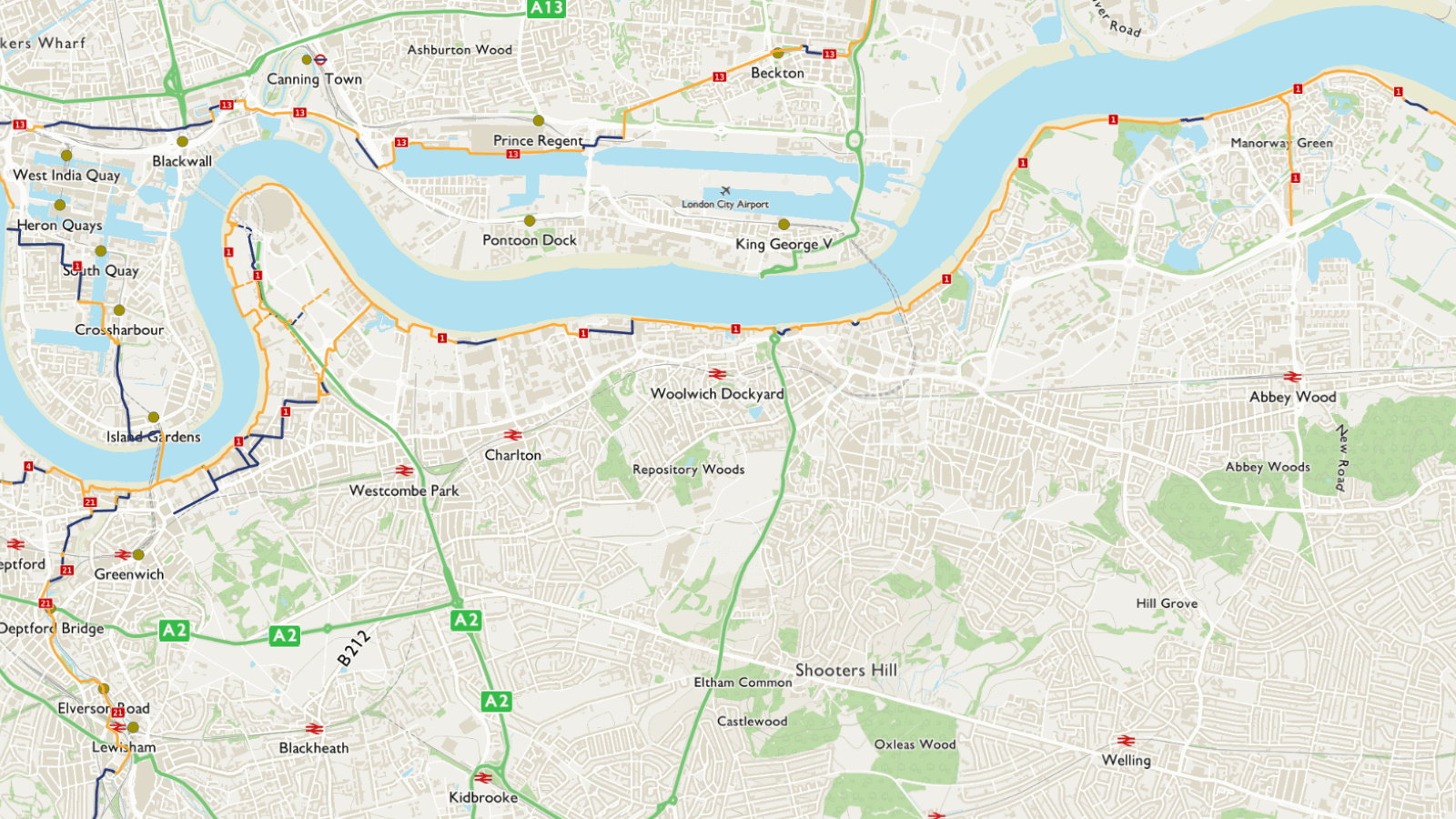
This mostly traffic-free route along the Thames riverside takes you past some of the tidal Thames' key landmarks.
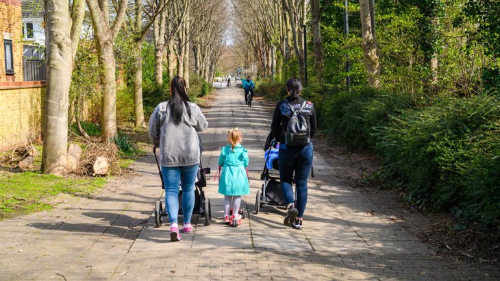
For a relaxed family cycle ride or if you use a wheelchair, handcycle or pushchair we recommend the traffic-free paths between Greenwich and Erith.
Information on this page

Places to see and explore
- Historic Maritime Greenwich including the Cutty Sark, the Royal Naval College and the Greenwich meridian
- Greenwich Peninsula, including the Millennium Dome, the Greenwich Peninsula Ecology Park and ‘The Line’ public art trail
- The Thames Barrier
- The Royal Arsenal, Woolwich
- Mudlarkers can access the Thames foreshore at low tide from a number of places between Greenwich and Woolwich
- Views of London from Gallions Reach Park
- Grand Victorian Engineering at Crossness pumping station. Regular open days (pre-booking required) throughout the year
- Erith Pier
- Remains of a neolithic submerged forest, a medieval moated manor and Second World War defences at Crayford marshes.
Local amenities
- Frequent local shops, cafes and pubs between Greenwich and Woolwich
- Thamesmead local shops and services
- Erith local shops and services.
- Dartford local shops and services.
Public transport
By train: Greenwich, Woolwich Arsenal, Woolwich (Elizabeth line), Erith, Slade Green (via signed link to Crayford marshes) and Dartford.
By tube: North Greenwich (Jubilee line).
Docklands Light Railway (DLR): Cutty Sark for Maritime Greenwich, Woolwich Arsenal.
By river: Greenwich, North Greenwich and Woolwich (Royal Arsenal). Woolwich Ferry from Woolwich Ferry South Terminal (free).
By cable car: North Greenwich to Royal Victoria Dock.
Find out more about using public transport to get to the National Cycle Network on our Get started on London’s National Cycle Network page.
Continue on the National Cycle Network
Want to explore more of the National Cycle Network from this route?
Follow these directions to find other National Cycle Network routes near here:
At Greenwich go via the Greenwich foot tunnel to continue on Route 1 northbound to Docklands, the Lea Valley and Cheshunt.
From Greenwich take the Thames Path west to Tower Bridge, Putney and Hampton Court on Route 4.
From Greenwich, take the Waterlink Way south to Lewisham, Kent House and New Addington on Route 21.
From Dartford, continue east on Route 1 to Chatham, Canterbury and Dover.

Continue walking
Want to explore more of London’s walking network from this route?
Find out which other routes you can join from Route 1:
- At Greenwich continue west on the Thames Path National Trail (south bank route)
- Eastbound from Woolwich this route shares alignment with the King Charles III England Coast Path which continues around the Kent coast
- Join the Jubilee Greenway westbound at Greenwich, or northbound at the Woolwich foot tunnel
- Join The Line public art walk at North Greenwich
- Join the Capital Ring southbound at the Thames Barrier or northbound at the Woolwich foot tunnel
- Join the Green Chain Walk at the Thames Barrier, Thamesmead or Erith
- Join the London Loop at Erith where it starts or ends its 150-mile circumnavigation of London
- At Greenwich join the Greenwich Meridian trail southbound through Greenwich Park or northbound through the Greenwich foot tunnel
- At Erith join the Cray Riverway southbound
- On the Kent side of the River Darent, join the Darent Valley path.
Find more useful information about walking in London on our Get started on London’s National Cycle Network page.
Accessibility information
Barriers
There is a staggered chicane barrier just east of the Woolwich foot tunnel.
On the west side of the Greenwich peninsula, there are narrow sections of path where the width reduces to 1.5m.
Parts of the Thames path in Erith are narrow with blind corners.
There are restrictive barriers on Crayford marshes between Erith Yacht Club, Crayford Creek Road and Slade Green station which are difficult to navigate with mobility aids and wider or longer cycles.
Surface
On Crayford marshes between Erith Yacht Club, Crayford Creek Road and Slade Green station the path surface is rough and unbound.
In places, it is narrow and can be muddy when wet.
Steeps and steps
At Erith Oil works a mile west of Erith there is a steep ramp over pier infrastructure.
Take care
This route has these busier on-road sections.
East of the Thames Barrier, Bowater Road is closed between 9 pm and 6 am. The diversion uses the very busy A206 for 300m.
The on-road route through Erith uses busy local roads West Street and Erith High Street for half a mile.
Between Erith and Crayford marshes the route uses a traffic-free path alongside busy industrial Manor Road for half a mile. Take care when crossing site entrances.
In Dartford, the route uses a traffic-free path alongside the very busy A206 and Burnham Road for around 1 mile. The crossing of Burnham Road near the A206 roundabout is not controlled.
Please note
We have taken all responsible steps to ensure that these routes are safe and achievable by people with a reasonable level of fitness.
However, all outdoor activities involve a degree of risk. To the extent permitted by law, Sustrans accepts no responsibility for any accidents or injury resulting from following these routes.
Walking and cycling routes change over time. Weather conditions may also affect path surfaces.
Please use your own judgement when using the routes based upon the weather and the ability, experience and confidence levels of those in your group.