


In 20 miles go from the heart of historical maritime London, through places shaped by industry, war, commerce and water, to the countryside beyond the M25.
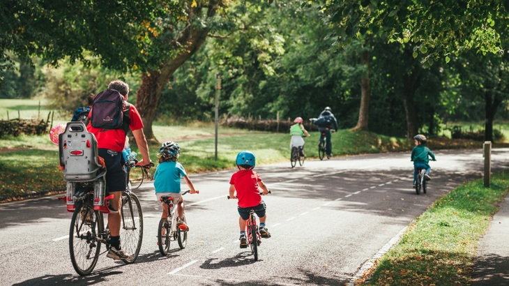
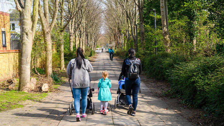
For a relaxed family cycle ride or if you use a wheelchair, handcycle or pushchair we recommend Victoria Park, the Lea Valley between Stratford and Tottenham, and the Lea Valley regional park between Waltham Cross and Broxbourne.
Information on this page
- Places to see and explore
- Local amenities
- Public transport
- Local loops
- Continue on the National Cycle Network
- Continue walking
- Accessibility information
Would you like more route inspiration? Sign up for our enewsletter.

Places to see and explore
- Maritime Greenwich, the Cutty Sark and the Greenwich foot tunnel
- Mudchute park and city farm
- The Thames, Docklands and Canary Wharf
- The Regents canal, Mile End park and Victoria park
- Queen Elizabeth Olympic Park
- The Waterworks nature reserve and Middlesex Filter beds
- Walthamstow Wetlands nature reserve
- Markfield Park beam engine and museum
- Gunpowder park, Sewardstone marsh and Ramney Marsh
- River Lea Country park between Waltham Abbey and Broxbourne.
Local amenities
- Frequent local shops, cafes and pubs between Greenwich and Hackney Marshes
- Hackney Marshes: café, water, toilets (when open)
- Lea Bridge Road: Princess of Wales pub
- Springfield park: Riverside café and Springfield park café
- Markfield park café
- Forest road: Walthamstow wetlands café & the Ferry Boat Inn.
- Tottenham local shops and services
- Stonebridge lock waterside café
- Enfield island village: The Greyhound pub
- Ramney Marsh Lock: Narrowboat café
- Lea Valley Whitewater centre café
- Cheshunt local shops and services.

Kelly, Leyton
The traffic-free paths of the Lea Valley are fantastic for running with the baby in the buggy and perfect for my older child to learn to cycle and gain confidence on two wheels.
Public transport on or near this route
By train: Greenwich, Limehouse, Hackney Wick, Lea Bridge, stations between Tottenham Hale and Cheshunt.
By tube: Canary Wharf, Mile End, Stratford, Tottenham Hale, Blackhorse Road.
Docklands Light Railway (DLR): Stations between Greenwich and Limehouse .
By river: Greenwich and Canary Wharf.
Find out more about using public transport to get to the National Cycle Network on our Get started on London’s National Cycle Network page.
Local loops
We recommend these local circular routes for family-friendly, traffic-free and accessible adventures:
- This 6-mile Golden circle route explores the Hackney marshes, Walthamstow marshes and Middlesex filter beds.
- The 5.5 mile ‘Artway 1’ route near Waltham Cross and Cheshunt is packed with interest.
Continue on the National Cycle Network
Want to explore more of the National Cycle Network from this route?
Follow these directions to find other National Cycle Network routes near here:
From Greenwich, take the Thames Path east to Dartford on Route 1, or west to Tower Bridge, Putney and Hampton Court on Route 4.
From Greenwich, take the Waterlink Way south to Lewisham, Kent House and New Addington on Route 21.
At Enfield Lock, join the Enfield Greenways to Hadley Wood on Route 12.
From Cheshunt continue north on Route 1 to Hoddesdon, Harlow and Scotland.
At Limehouse, go west to Tower Bridge or east to Beckton and Rainham on Route 13.
Continue walking
Want to explore more of London’s walking network from this route?
Find out which other routes you can join from the London Docklands and Lea Valley route:
- Join the Thames Path National Trail at Island Gardens (north bank route) or Greenwich (south bank route).
- Join the Capital Ring westbound at Springfield Park, or eastbound at the Olympic Park.
- At Tottenham Hale join the Pymmes Brook Trail.
- At Enfield Island Village join the London Loop eastbound or westbound.
- From Cheshunt continue north on the Lea Valley Walk.
- The New River Path follows the Lea Valley just west of this route.
Find more useful information about walking in London on our Get started on London's National Cycle Network page.
Accessibility information
Greenwich Foot tunnel
Please walk your cycle in the tunnel.
If the north or south lifts are out of service and you are unable to take the steps take the Docklands Light Railway (DLR) between Cutty Sark and Island Gardens for step-free access.
Barriers
There are staggered chicane barriers on the Isle of Dogs section next to the Thames near Canary Wharf.
There are staggered barriers on the towpath at White Post Lane, Hackney Wick and Stonebridge Lock.
There are gates that when both are closed create a chicane at the Lea Bridge Road underpass, the Walthamstow Marshes rail underpass and Coppermill Lane car park.
Surface
The towpath has a number of short, cobbled sections.
At Tottenham and Markfield Park there are two 50m sections of very aggressive cobbles. At Markfield Park these can be avoided by using the parallel path through the park.
North of Tottenham the canal towpath surface changes from tarmac to hard-packed gravel and narrows to around 1m width.
Steeps and steps
The bridge over the canal at Springfield Park has shallow steps and a wheeling ramp.
This can be avoided by crossing the canal further south at Lea Bridge Road, or by continuing north through the Walthamstow wetlands (free entry, check opening hours), crossing the canal and rejoining National Route 1 on Ferry Lane.
Expect canal bridges and railway underpasses to have steep ramps.
Take care
This route has these busier on-road sections.
At East Ferry Road, on the Isle of Dogs, the route uses this busy local road for half a mile.
Please note
We have taken all responsible steps to ensure that these routes are safe and achievable by people with a reasonable level of fitness.
However, all outdoor activities involve a degree of risk. To the extent permitted by law, Sustrans accepts no responsibility for any accidents or injury resulting from following these routes.
Walking and cycling routes change over time. Weather conditions may also affect path surfaces.
Please use your own judgement when using the routes based upon the weather and the ability, experience and confidence levels of those in your group.
To make sure everyone gets the most out of their time by the water, please ensure that you follow the Towpath Code.